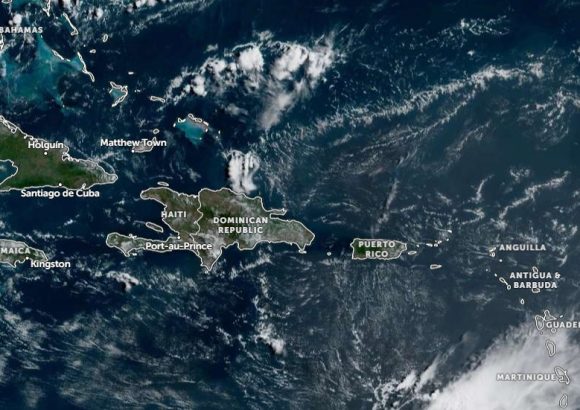
Weather officials in the Dominican Republic have released a detailed daily forecast outlining mixed atmospheric conditions driven by multiple climate systems across the island nation. The Dominican Institute of Meteorology, known locally as Indomet, attributes the expected precipitation to a moving upper-level trough that will trigger uneven rainfall across different regions through the day.
Through the early morning hours, the system will bring isolated, scattered showers to communities stretching along the country’s Caribbean coastline. The most affected provinces during this period will be San Cristóbal, the wider Santo Domingo metropolitan area, San Pedro de Macorís, La Romana, and La Altagracia, all of which can expect brief, scattered downpours that will not likely cause widespread disruption.
As the day progresses into the afternoon, the trough’s influence will shift northward to the Cibao region, where concentrated local downpours will be paired with isolated thunderstorms. The areas at highest risk of afternoon storm activity include Monseñor Nouel, La Vega, Santiago Rodríguez, Valverde, and Dajabón, with adjacent provinces also expected to see stormy conditions. Forecasters add that strong, sudden wind gusts may accompany the afternoon thunderstorms, prompting residents to keep an eye on changing conditions through the end of the day.
For most other parts of the country not impacted by the precipitation, conditions will remain mostly clear, ranging from full sun to light haze. Indomet notes that only a low concentration of Saharan dust is currently present over the nation, keeping haze levels minimal compared to previous dust events this season.
Despite the scattered storms, the institute also issued a reminder that high heat will persist across every region of the Dominican Republic, with the heat index reaching levels that can pose risks for people spending extended time outdoors.