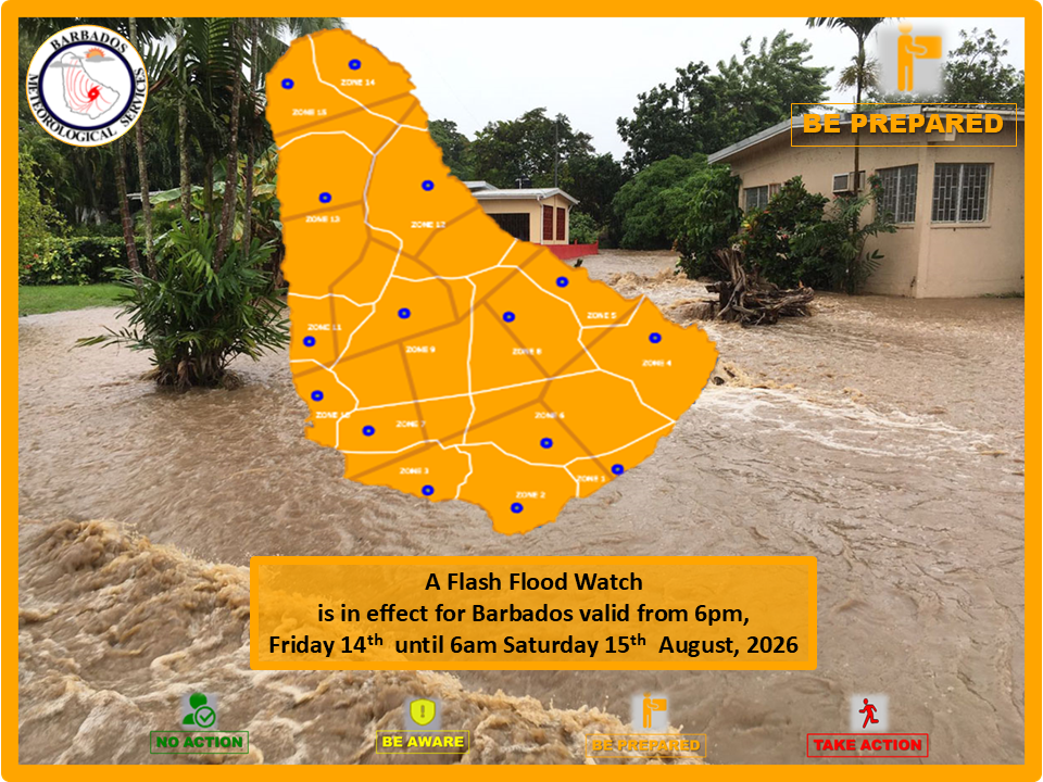
Barbados has activated a Flash-Flood Watch effective from 6 p.m. local time through 6 a.m. August 15, as a powerful tropical wave approaches the island nation, forecast to bring unstable weather marked by moderate to intense downpours that raise the risk of flash flooding across vulnerable areas.
Officials from the Barbados Meteorological Services (BMS) confirmed that accumulated rainfall across multiple regions of the island is projected to reach between 25 and 50 millimeters as the system moves across the territory. Forecasters warn that the sudden heavy precipitation could trigger fast-onset flooding, with a range of potential disruptions to daily life and infrastructure. Low-lying zones are identified as the most at-risk areas, where floodwaters are likely to accumulate on roadways and agricultural lands. Rising water levels in ponds, streams and other natural water channels are also expected, while excess runoff may overwhelm local drainage networks and encroach on residential and commercial properties.
In addition to flooding risks, the unstable weather will bring gusty winds and embedded thunderstorms across the island. Commuters are warned to prepare for potential travel delays and unplanned road closures that require temporary diversions around affected areas. On exposed, cleared land, the heavy rainfall also raises the possibility of soil erosion that can damage local ecosystems and infrastructure.
BMS officials note that the current watch may be updated or ended earlier than the scheduled 6 a.m. expiration if weather conditions improve rapidly. They also added that if the threat intensifies, the alert level will be upgraded to a full flash flood warning to prompt more urgent protective action from residents and local authorities.