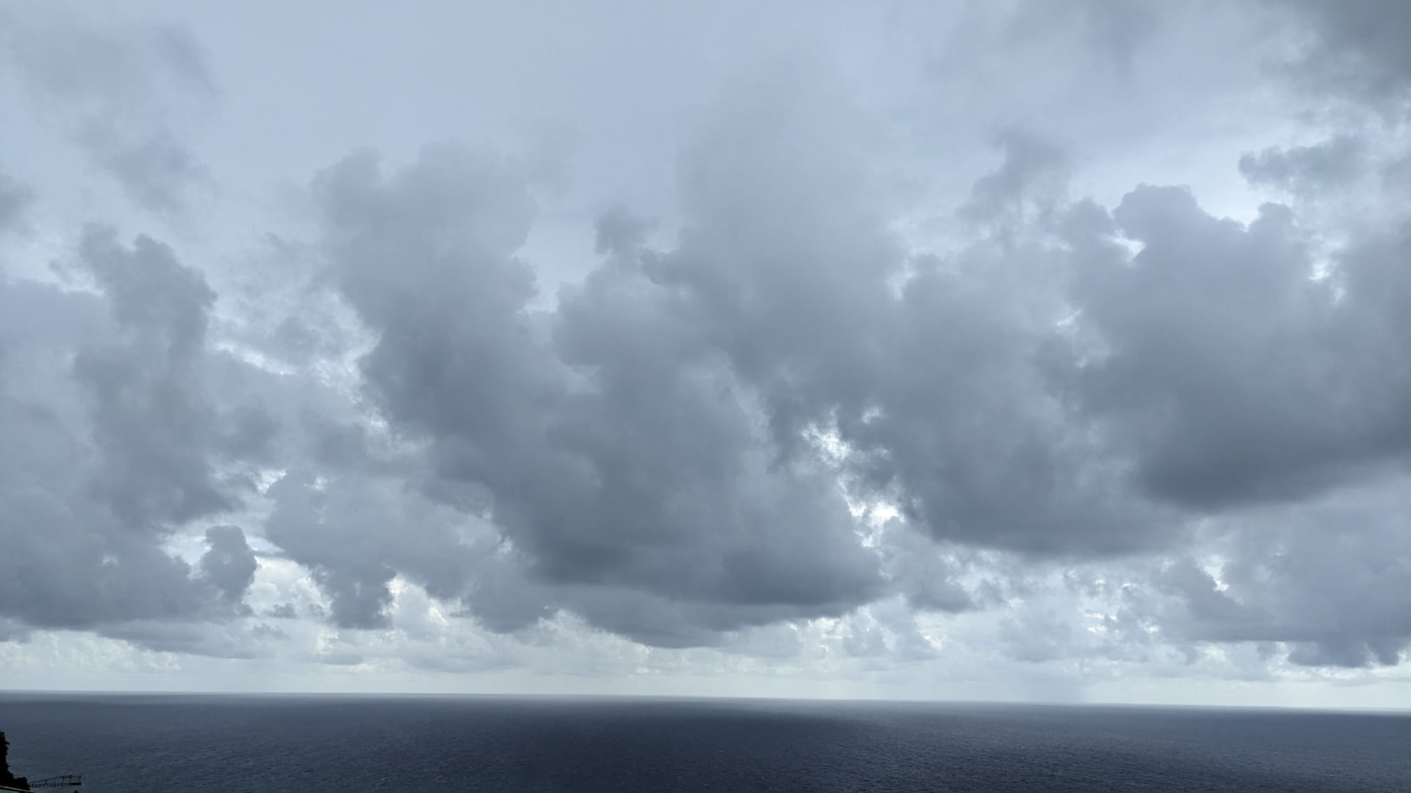
As the next 24-hour forecast period unfolds, a persistent Atlantic high-pressure system will remain the dominant weather feature governing conditions across the region. Today, skies are projected to range from partly cloudy to fully overcast, with a small number of brief showers popping up in isolated areas. Overnight, this pattern will shift slightly to bring more scattered shower activity across a broader swath of the area. For the entire duration of the weekend, consistent breezy conditions will remain a constant feature of the local weather.
Beyond temperature and precipitation patterns, a major air quality concern is unfolding this week: a thick, widespread plume of Saharan dust is traversing the region, and it is expected to keep air quality in the moderate to unhealthy range all the way through next week. Public health officials are urging vulnerable groups who face heightened sensitivity to particulate dust — including people living with asthma, those who experience chronic allergies, and anyone managing other respiratory or skin conditions — to consistently follow recommended protective precautions to avoid adverse health reactions. For individuals working or traveling on local waterways, low visibility driven by the dust plume creates additional navigational hazards, so authorities have advised all mariners to ensure they carry fully functional electronic navigation tools for the duration of the event.
Coastal areas are also facing elevated marine hazards over the weekend, with wave heights projected to climb sharply across both the western and eastern coastlines. Along the western coast, waves are expected to build to nearly 5 feet, while open waters off the eastern coast could see waves reach as high as 8 feet. In response to these dangerous conditions, emergency management officials are reminding small watercraft operators and recreational sea swimmers to closely track changing marine conditions throughout the weekend and exercise heightened caution when entering the water.