As climate change amplifies the frequency and intensity of extreme rainfall events across the Caribbean, Antigua and Barbuda is undertaking a landmark transformation of its flood forecasting infrastructure, shifting from traditional rainfall prediction to actionable, impact-focused early warning systems designed to save lives and protect critical infrastructure.
For years, local meteorologists have accurately predicted when heavy rain will arrive, how long it will persist and what total accumulation residents can expect. What has remained uncertain, however, are the tangible downstream effects of that precipitation: which roadways will succumb to pooling water first, which low-lying communities face the highest flood risk, whether clogged drainage networks will block access for emergency responders, and whether schools and businesses need to shut down proactively. Those unaddressed questions are now the driving force behind a national effort to modernize the country’s approach to flood forecasting.
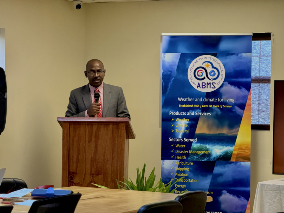
In June, a two-day interdisciplinary workshop hosted at Antigua and Barbuda’s National Office of Disaster Services brought together more than a dozen stakeholders, including meteorologists, civil engineers, emergency management coordinators, utility providers and government agency representatives. Organized by the Antigua and Barbuda Meteorological Service (ABMS) in partnership with the World Meteorological Organization (WMO), the event marked the official launch of work to draft the nation’s first comprehensive Standard Operating Procedures (SOPs) for flood forecasting and warning, a core component of a broader initiative to strengthen national early warning capacity.
The centerpiece of this overhaul is the development of the Urban Flash Flood Information System (UFFIS), an advanced AI-powered forecasting and decision-support platform that reimagines what flood warnings can deliver. Unlike conventional weather forecasts that only detail atmospheric conditions, UFFIS integrates multi-source data: official precipitation outlooks, real-time soil moisture readings, drainage network mapping, river basin topography, terrain elevation data and historical rainfall records to generate granular estimates of where flooding is most likely to occur and how severe its impacts will be.
For average residents, the change may seem incremental, but for emergency management leaders, it represents a paradigm shift in how warnings are communicated and response decisions are made. Instead of releasing generic alerts that state “100 millimeters of rain is expected,” forecasters will be able to share specific, actionable information: which neighborhoods face imminent inundation, which key routes will likely become impassable, and when first responders should pre-position resources for potential water rescues.
This outcomes-focused model, called impact-based forecasting, has emerged as a global gold standard for meteorological services in an era of accelerating climate change. By shifting focus from describing weather conditions to predicting their real-world consequences, the approach allows governments and communities to take proactive protective action far earlier than outdated systems permit.
ABMS Director Dale Destin emphasized to workshop attendees that basic rainfall forecasting is no longer sufficient to meet the country’s growing climate resilience needs. “Flood warnings must be more than forecasts—they must be actionable guidance that leads to timely decisions and protective action,” Destin said, framing the workshop as a critical milestone toward building “a truly integrated, impact-based flood early warning system for Antigua and Barbuda.”
Cross-agency coordination was a central focus of the workshop, as effective early warning systems depend not just on accurate forecasting data, but on clear alignment between institutions before, during and after flood emergencies. Participants mapped existing information sharing pathways between agencies, reviewed current operational protocols, and identified gaps in role clarity that could slow response times. They also examined end-to-end warning communication workflows, mapped decision-making authority across different stages of flood events, and explored how new UFFIS technology can be integrated into existing emergency response infrastructure. The end goal of the collaborative process is a finalized set of national SOPs that explicitly define roles, communication chains, escalation triggers and decision-making responsibilities long before severe rain threatens the islands.
The drafting process builds on months of preliminary institutional consultations between ABMS, the Antigua Public Utilities Authority, the National Office of Disaster Services, the Ministry of Works and the Department of Environment, which covered everything from rain gauge monitoring and groundwater data collection to public warning dissemination, post-flood impact verification and event review protocols.
The new system also reflects a broader global shift in meteorological science: modern flood forecasting now relies on combining diverse data streams rather than depending solely on raw weather data. ABMS officials outlined at the workshop that forecast models, weather radar, satellite imagery, automated weather stations, community rain gauges and on-the-ground resident reports all contribute to a comprehensive picture of evolving flood risk. UFFIS will expand this capacity by adding high-resolution hydrological modeling and basin characteristic data to improve accuracy for urban and flash flood events, the most common and destructive flood types in the country.
When fully operational, this approach will allow forecasters to tailor warnings to a community’s specific vulnerability, not just the expected rainfall amount. A complementary key feature of the new system is customized risk matrices that combine the probability of a flood event with its projected impacts, rather than only classifying events by total rainfall. This allows forecasters to assess potential harm to people, infrastructure and essential services, helping emergency managers decide whether to advise residents to prepare, evacuate, or take immediate protective action.
The entire project is a core component of ABMS’ Meteorological Renaissance 2030 strategic initiative, and aligns with the United Nations’ global Early Warnings for All programme, which aims to ensure every person on Earth is protected by early warning systems against extreme weather and climate hazards by 2027.
“Every dollar invested in the Meteorological Service strengthens public safety, protects critical infrastructure, supports economic development, enhances climate resilience, and reduces disaster losses,” Destin noted.
While UFFIS is still in active development, officials emphasize that the behind-the-scenes work now underway will significantly strengthen the country’s ability to respond to flooding, one of the most frequent and damaging natural hazards facing the twin-island nation. If the initiative delivers on its promise, future flood warnings will finally answer the question residents actually care about when storm clouds gather: not just how much rain is coming, but what that rain will mean for their homes, their neighborhoods and their personal safety.