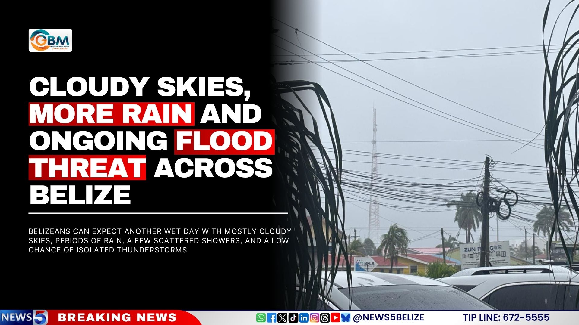
Belize remains under the grip of relentless wet weather as the National Meteorological Service forecasts another day dominated by cloudy skies, intermittent rain, scattered showers, and a slight possibility of isolated thunderstorms. Northern and central regions, along with offshore areas, are expected to bear the brunt of this weather activity. Despite the ongoing precipitation, there is a silver lining: the North Atlantic Basin is currently tranquil, with no tropical cyclones posing an immediate threat to Belize or its coastal waters. Saturday’s weather outlook predicts generally cloudy conditions with sporadic showers or light rain, primarily concentrated in the north and offshore areas, gradually tapering off by day’s end. This follows a government advisory issued yesterday, urging residents to prepare for potential flooding as heavy rains persist across multiple regions. A Flash Flood Alert remains in effect for inland western, central, and southern areas, as well as the central coast. Specific locations at heightened risk include the Belize River at More Tomorrow and downstream communities, the Sibun River at Freetown Sibun, the Sittee River at Kendal, and the Golden Stream River at Hellgate in Region Eleven. The national forecast map highlights communities in red as facing the highest flash flood risk, while those in orange are at medium to high risk. Authorities continue to emphasize the importance of staying informed through official weather updates and exercising caution near rivers and low-lying areas.