分类: weather

  • Double Cold Front to Chill Belize This Weekend

    Double Cold Front to Chill Belize This Weekend

    Meteorological authorities in Belize have issued a weather advisory warning citizens to prepare for significantly cooler conditions as two consecutive cold fronts approach the nation. The first frontal system is projected to arrive by Saturday afternoon, with a secondary, more potent front following closely behind.

    The most pronounced temperature drop is anticipated from Sunday evening through Monday morning, creating unusually cold conditions for the region. Coastal areas should expect temperatures descending into the low 60s Fahrenheit, while interior regions may experience mid-50s readings. The elevated mountain districts could see temperatures approaching the upper 40s Fahrenheit—exceptionally cold by Belizean standards.

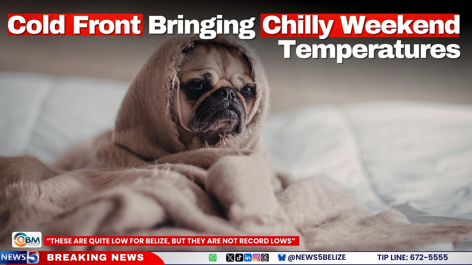
    Chief Meteorologist Ronald Gordon provided historical context, noting that while these temperatures represent a substantial cool snap, they are not expected to break historical records. “These are quite low for Belize in the Belizean context, but they are not record lows,” Gordon stated after reviewing archival data.

    Historical records indicate that the lowest temperature recorded for February 2nd was 59°F (15°C) at Central Farm, with the absolute monthly minimum being 46°F (7.8°C) at the same location. For Philip Goldson International Airport, the historical minimum for February 2nd stands at 56°F (13.3°C), with the monthly record being 52°F (11.1°C) from February 22, 1978.

    Gordon characterized the event as “a very cold snap, an arctic blast as some people might say” while emphasizing that temperatures may approach but not exceed historical extremes. Residents are advised to take appropriate precautions, including wearing warmer clothing and using additional bedding, as the Belizean population is generally unaccustomed to such cool conditions.

  • Cold Front Bringing Chilly Weekend Temperatures

    Cold Front Bringing Chilly Weekend Temperatures

    Meteorological authorities in Belize have issued advisories for significantly colder than average conditions expected throughout the weekend and into early next week. Chief Meteorologist Ronald Gordon confirmed that a sequence of two distinct cold fronts will traverse the nation, bringing notably low temperatures particularly unusual for the region.

    Gordon indicated that the most severe cold spell will manifest from Sunday night through Monday morning. Coastal regions should anticipate temperatures plunging into the lower 60s Fahrenheit, while inland population centers including San Ignacio and Belmopan will experience more pronounced cold in the lower to mid-50s. The elevated terrain of Pine Ridge and similar mountain areas face the most extreme conditions, with forecasts suggesting temperatures could drop into the upper 40s.

    The meteorological phenomenon driving these temperatures involves radiational cooling, a process where heat escapes rapidly into the atmosphere under clear nighttime skies. Gordon emphasized that despite the unusual cold, these temperatures do not represent record-breaking lows for Belize. Historical records indicate significantly colder episodes, including a February 1978 event when inland areas recorded 46°F and the international airport registered 52°F.

    Precipitation associated with these frontal systems will be minimal, with predominantly clear conditions expected throughout the cooling period. Meteorological models project a gradual temperature recovery beginning midweek as the frontal influence weakens and typical weather patterns reestablish.

  • Torrential Rains Soak Belize: More Downpours on the Way

    Torrential Rains Soak Belize: More Downpours on the Way

    A sustained period of intense rainfall has inundated Belize, with meteorological authorities forecasting continued precipitation throughout the weekend. A stationary frontal boundary interacting with moist northeasterly winds has created optimal conditions for persistent thunderstorms, particularly across central and southern districts.

    Precipitation measurements reveal significant regional variations, with Belize City recording 1-3 inches of rainfall while Hattieville experienced substantially heavier accumulation of 5-6 inches. The precipitation commenced overnight and continued through morning hours, resulting in slick road conditions and elevated flood risks in low-lying areas.

    Chief Meteorologist Ronald Gordon of the National Meteorological Service provided detailed analysis of the developing situation: ‘We’re observing a frontal boundary approaching our region that’s expected to become stationary, creating extended precipitation conditions. Unlike typical cold fronts that bring dry air, this system will function primarily as a rain front, maintaining substantial moisture content across our atmospheric column.’

    Gordon further elaborated on the meteorological mechanics: ‘The combination of surface-level frontal boundary stalling and supportive upper-level conditions is enhancing thunderstorm development. This convergence of factors explains the pronounced thunderstorm activity witnessed this morning in urban and Hattieville regions.’

    The precipitation pattern is expected to initially concentrate across northern and central territories before gradually extending nationwide. Meteorological models indicate probable continuation of rainfall through Saturday and Sunday, with improvements anticipated by Monday as the frontal system eventually dissipates or moves eastward.

    Residents are advised to exercise caution in flood-prone areas and monitor official weather updates. The National Meteorological Service maintains active monitoring of the system and will issue further advisories as conditions evolve.

  • Wet Weather to Linger Over Belize Through Friday

    Wet Weather to Linger Over Belize Through Friday

    Belize is set to experience continued wet and unstable weather conditions through Friday, with the National Meteorological Service predicting widespread rain and isolated thunderstorms. Over the next two days, the country will see mostly cloudy to overcast skies, with light to moderate rainfall intensifying into heavy showers, particularly in northern regions during the morning hours. By the afternoon and evening, rainfall is expected to increase again, with isolated thunderstorms likely in northern and central areas. Friday will maintain similar patterns, with scattered showers and thunderstorms concentrated in the north and central zones. Despite the persistent rain, the tropical outlook remains calm, with no tropical cyclones forecasted in the North Atlantic that could threaten Belize or its coastal waters in the coming days.

  • Moist and Unstable Weather Conditions Persist Across Belize

    Moist and Unstable Weather Conditions Persist Across Belize

    Belize remains under the influence of moist and unstable weather conditions, as reported by the National Meteorological Service. Scattered showers and thunderstorms are prevalent across much of the country, with cloudy skies interspersed with brief sunny intervals. Coastal, central, and northern regions are particularly affected, experiencing persistent rainfall and thunderstorms. While shower activity is expected to diminish by evening, it is likely to redevelop later tonight, primarily in southern and coastal areas. Meanwhile, a tropical wave in the eastern Caribbean Sea is generating intense showers and thunderstorms. Although this system does not currently pose a direct threat to Belize, forecasters indicate that environmental conditions could become more conducive to the formation of a tropical depression or storm in the coming days. Authorities are vigilantly monitoring the situation. Similar weather patterns are anticipated to persist through Tuesday and into the night.