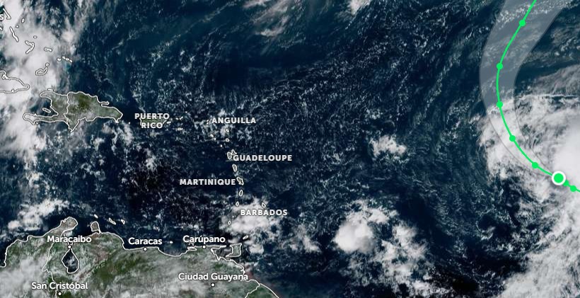
Santo Domingo.- The La Niña weather phenomenon has made its return, and meteorologists are sounding the alarm for the Dominican Republic. This climatic event, characterized by cooler-than-average equatorial Pacific waters, is set to bring significant changes to the region’s weather patterns over the next few months. Experts predict heavy rainfall, widespread flooding, and a marked decrease in temperatures across much of the country. La Niña’s influence extends to altering wind patterns and atmospheric circulation, indirectly impacting the Caribbean climate. The phenomenon is expected to increase the frequency of troughs, tropical waves, and low-pressure systems, heightening the risk of flash floods reminiscent of the severe rainfall event on November 4, 2022. On a more positive note, La Niña will also usher in cooler temperatures, particularly in mountainous regions such as Valle Nuevo, where temperatures could plummet to -7°C to -8°C, and Pico Duarte, where sub-zero conditions are anticipated. However, authorities remain vigilant, as La Niña’s reduction of wind shear could facilitate the formation and intensification of tropical cyclones in the Caribbean Sea, posing a continued risk of storms and hurricanes. Climate models suggest that La Niña will remain active until February or March 2026, ensuring prolonged periods of rainfall across the nation before transitioning to a neutral phase.