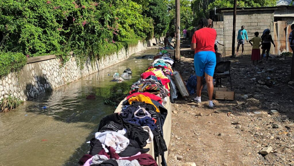
Last Friday, the Corporate Area of Jamaica was hit by torrential rains described by climate change and extreme rainfall specialist Dr. Christopher Burgess as an ‘extreme’ weather event. Data from privately owned automatic weather stations indicated that the rainfall represented a ’50-to-100-year return period event,’ making it both rare and severe due to its duration. The downpour, which began around 4:30 pm on September 19, caused widespread flooding, immobilizing motorists, inundating homes, and leaving a trail of debris and devastation. The rains subsided after 8:00 pm, but the damage was already significant. Dr. Burgess, a registered professional and civil engineer with expertise in environmental and coastal engineering, identified New Kingston, Cross Roads, and Cherry Gardens as the ‘epicenter of the weather event.’ He emphasized, ‘There is no doubt that the rainfall was extreme.’ The Meteorological Services of Jamaica reported rainfall amounts from various stations, including 39.1 mm in three hours at Kingston College, 68 mm in two hours at Mona Reservoir, and 75.6 mm in two hours at Shortwood Teachers’ College. However, the Mico University station in Cross Roads went offline during the storm. Climate Services Manager Jacqueline Spence-Hemmings noted that the rainfall was significant, with Mona receiving 68 mm in two hours, nearly half of the 30-year mean rainfall for September. She highlighted the intensity of the event, stating, ‘You got almost half of what’s expected in a month in about an hour and a half.’ Dr. Burgess pointed out that privately owned stations recorded higher rainfall levels than the Meteorological Services, suggesting the event was even more extreme. Meanwhile, Professor Carol Archer of the University of Technology warned that such flooding will persist unless Jamaica overhauls its rainwater infrastructure and enforces existing legislation. She stressed the need for updated regulations and enforcement to prevent improper development. The Meteorological Services also forecasted scattered showers and thunderstorms across most parishes in the coming days, underscoring the ongoing risk of extreme weather.
