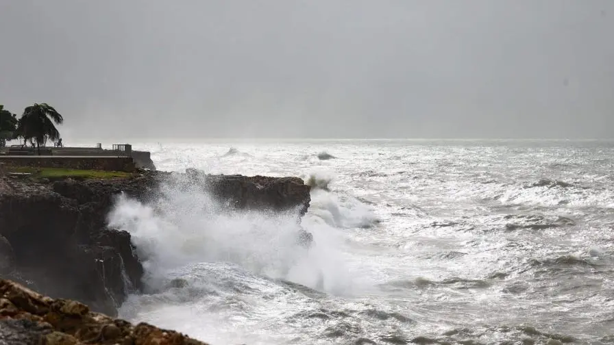
The Dominican Institute of Meteorology (INDOMET) issued a weather update yesterday morning, indicating that significant rainfall was not anticipated across most of the Dominican Republic. Saturday began with predominantly sunny skies, but conditions shifted in the afternoon. A trough connected to a frontal system, combined with local atmospheric effects and warm southeasterly winds, led to increased cloud cover. This resulted in moderate to heavy downpours, thunderstorms, and gusty winds across several provinces, including Sánchez Ramírez, San Cristóbal, Hermanas Mirabal, and others. Precipitation subsided significantly after midnight. For today, morning showers are expected in specific Atlantic coastal areas due to dissipating cloudiness from the frontal system. In the afternoon, a trough and local effects will bring varying intensities of rainfall, isolated thunderstorms, and gusty winds, particularly in the southeast, north, and border regions. Cyclonic activity in the Atlantic basin, Caribbean Sea, and Gulf of Mexico remains under observation. A low-pressure area near the northwestern Bahamas has a 10% chance of developing into a tropical cyclone within the next seven days, while a tropical wave off the western coast of Africa has a 50% probability. High temperatures, driven by warm southeasterly winds, are expected to persist. Residents are advised to stay hydrated, wear light clothing, and avoid prolonged sun exposure, especially between 11:00 a.m. and 4:00 p.m. In the National District, skies will be mostly sunny with occasional afternoon clouds, local showers, and possible thunderstorms. Santo Domingo Norte, East, and Oeste will experience partly cloudy conditions with localized showers and gusty winds in the afternoon.