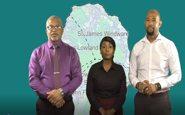
CHARLESTOWN, Nevis – July 13, 2026 – The Nevis Island Administration (NIA) is moving forward with a landmark public infrastructure initiative that will for the first time assign official names to all roads across the Caribbean island and formally demarcate village and locality boundaries, a move set to transform the efficiency of critical public and private services island-wide.
Led by the NIA Department of Physical Planning and Environment in partnership with the Department of Community Development, the effort is structured as two interconnected projects: the Nevis Road Naming Project and the Village & Locality Boundaries Project. Officials say the core goal of the initiative is to eliminate the longstanding reliance on informal, landmark-based directions that have hampered operations for emergency responders, utility providers, postal services, and urban planners.
Honourable Spencer Brand, Minister of Physical Planning and the Environment, emphasized that the initiative addresses a growing need for precise geographic identification as Nevis develops. “For generations, residents and visitors relied on casual directions like ‘turn by the big stone and the white house’ to navigate the island. Those days are behind us,” Brand explained in a press briefing. “This project will give us exact, standardized location data for every site across Nevis, which will drastically cut response times for emergency services and streamline daily operations for every essential agency.”
Critical services set to benefit from the standardized geographic system include Emergency Medical Services, the Royal St. Christopher and Nevis Police Force, the Fire and Rescue Service, the Nevis Water Department, Nevis Electricity Company Limited (NEVLEC), and the Nevis Postal Service. Brand added that the NIA Cabinet has fully approved the initiative and prioritized its rapid completion, with a target launch date before the end of 2026.
Project planning has been underway for two years, starting with an extensive community-driven consultation phase that invited local residents to propose names for roads in their neighborhoods. Deora Pemberton, Director of the Department of Physical Planning and Environment, outlined the inclusive process that has shaped the project to date. “The public comment period ran for three months, where community members submitted name proposals for both local roads and surrounding routes. We compiled all submissions, mapped the proposed network, and conducted internal reviews to ratify the preliminary list of names,” Pemberton said. “Today, we are entering the final validation phase, where we return to communities to present our work and get formal public input before finalization.”
Deputy Director Titlon Douglas-Weekes has released the schedule for the first round of public town hall validation sessions, where residents will be able to review proposed road names and boundary demarcations, ask questions, and submit adjustments. The first three sessions are open to all residents:
– St. John’s Parish: Pond Hill Community Centre, July 16, 2026 at 6:00 p.m.
– St. Paul’s Parish: St. Paul’s Anglican Church Hall, August 20, 2026 at 6:00 p.m.
– St. James Parish: Franklin Brown Community Centre, August 27, 2026 at 6:00 p.m.
Dates for validation sessions in the island’s remaining parishes will be announced in the coming weeks. All interested residents are encouraged to attend to review the proposed changes and provide feedback.
Brand praised the physical planning department team for its years of work to bring the initiative to this stage, noting, “I believe that they have done a remarkable job in getting us to this point.” For residents interested in reviewing the proposed maps ahead of the town halls, preliminary versions of the Nevis Road Naming Project map and Village Locality Boundaries map are available for public viewing on the NIA’s official website, in the Physical Planning and Environment documents section.
The initiative marks a major step forward in modernizing Nevis’ geographic infrastructure, supporting long-term community development, and improving quality of life for both residents and visitors to the island.