The Dominican Institute of Meteorology (Indomet) has issued a detailed multi-day weather forecast confirming that two major atmospheric forces — vast plumes of Saharan dust and a stable high-pressure anticyclonic circulation system — will shape conditions across most of the Dominican Republic through the start of this week, with the Atlantic hurricane season set to officially launch on Monday, June 1.
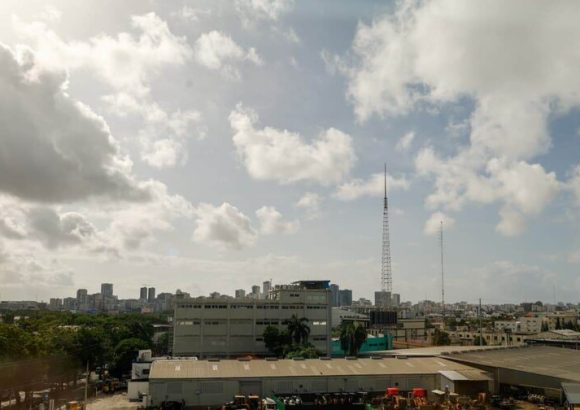
For Sunday, the national weather service forecasts predominantly sunny but hazy conditions across the island, with the haze driven directly by the incoming Saharan dust particles carried across the Atlantic. Only a small handful of inland and eastern provinces — including La Altagracia, El Seibo, Hato Mayor, La Vega, Monseñor Nouel, and Santiago Rodríguez — are expected to see isolated brief showers, triggered by wind shifts and daytime heating that fuels limited convective activity.
Despite the persistent haze and above-warm temperatures, Indomet notes that overall conditions will remain suitable for most outdoor recreational and daily activities. That said, the agency has issued public health guidance to help residents cope with the hot, dusty conditions: it recommends that all people stay hydrated by drinking plenty of water throughout the day, opt for loose, light-colored lightweight clothing that reflects sunlight, limit prolonged direct exposure to midday and afternoon sun, and seek out cool, well-ventilated spaces when possible. The agency also specifically urged residents who have pre-existing respiratory sensitivities to dust to take extra precautions and follow established public health guidance for poor air quality.
Temperature ranges will stay consistent across the country over the weekend, with overnight lows settling between 22°C and 24°C, and daytime highs reaching a balmy 30°C to 32°C.
As the calendar turns to June, the official start of hurricane season for the entire Atlantic basin, including the Caribbean Sea and Gulf of Mexico, arrives on Monday. In its forecast for the opening day of the season, Indomet says a tropical wave currently tracking south of Dominican territory through Caribbean waters, combined with the influence of a low-pressure trough, will bring scattered local downpours and isolated thunderstorms to coastal and southern provinces including Santo Domingo, San Cristóbal, Peravia, and Barahona during Monday morning hours. By the afternoon, those rain systems are projected to shift northward into the Cibao region, impacting La Vega, Santiago Rodríguez, Valverde, Santiago, and Dajabón. For all remaining regions of the country, the stable anticyclonic system and lingering Saharan dust will maintain sunny, partly hazy conditions.
Moving into Tuesday, the forecast calls for largely calm and stable weather across the Dominican Republic. The anticyclonic circulation will remain in place, and concentrations of Saharan dust in the atmosphere are expected to increase, keeping rainfall extremely rare across most of the country. Skies will be primarily sunny with occasional scattered cloud cover, holding to the pattern of warm conditions that dominated the weekend.