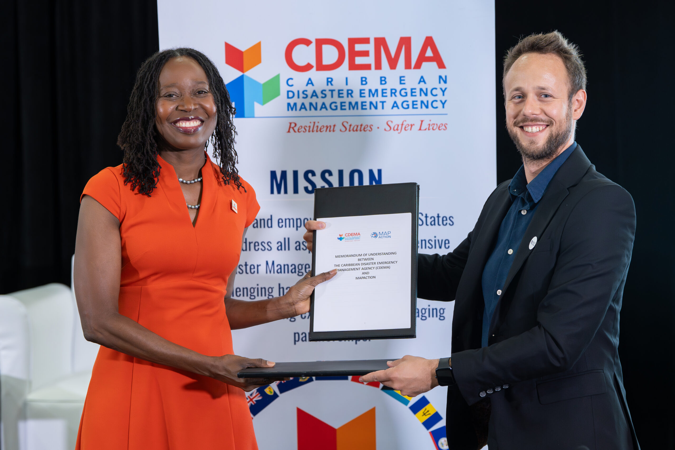
Caribbean countries are stepping up their ability to respond to natural crises after the Caribbean Disaster Emergency Management Agency (CDEMA) signed an updated agreement with UK-based humanitarian non-profit MapAction to continue their coordinated work on disaster management. The new Memorandum of Understanding (MoU), focused on expanding the use of real-time geospatial mapping and data during emergency events, was formalized Friday at a Comprehensive Disaster Management Strategy 2030 stakeholder workshop hosted in Bridgetown, Barbados. CDEMA Executive Director Elizabeth Riley and MapAction GIS Director Greg Fricz put their signatures to the renewed pact.
This long-running partnership between the two organizations will now continue its core mission: strengthening geospatial information management, boosting pre-disaster preparedness, and expanding on-the-ground operational support across CDEMA’s 20 member states across the Caribbean region. Beyond core mapping work, the updated agreement formalizes new areas of collaboration including technical assistance, cross-organizational geospatial data sharing, targeted training for local emergency management teams, capacity building for regional stakeholders, and coordinated deployment support when disaster strikes.
In remarks following the signing, Riley emphasized that cross-sector collaboration and technological innovation are foundational to building stronger regional disaster resilience. “This renewed partnership with MapAction demonstrates our shared commitment to harnessing cutting-edge innovation, robust data infrastructure, and coordinated collaboration to reinforce disaster preparedness and response capacity for every one of our 20 participating states,” Riley said. She went on to note that consistent, reliable geospatial data is non-negotiable for informed decision-making at every stage of an emergency—from pre-storm evacuation planning to post-disaster damage assessment and recovery. The partnership, she added, has consistently delivered tremendous value to CDEMA’s integrated regional disaster management system.
For his part, Fricz shared that MapAction, an organization that specializes in delivering life-saving mapping and geospatial data to humanitarian responders worldwide, is proud to extend its support to CDEMA and its member nations through enhanced mapping and analytical capabilities. “This updated MoU solidifies our shared goal: making sure that frontline emergency responders and senior decision-makers have immediate access to accurate, time-sensitive information when lives and livelihoods are on the line,” Fricz said. The renewed partnership comes as small island developing states across the Caribbean face growing frequency and intensity of climate-fueled disasters including hurricanes, flooding, and coastal erosion, making coordinated, data-driven disaster response more critical than ever.