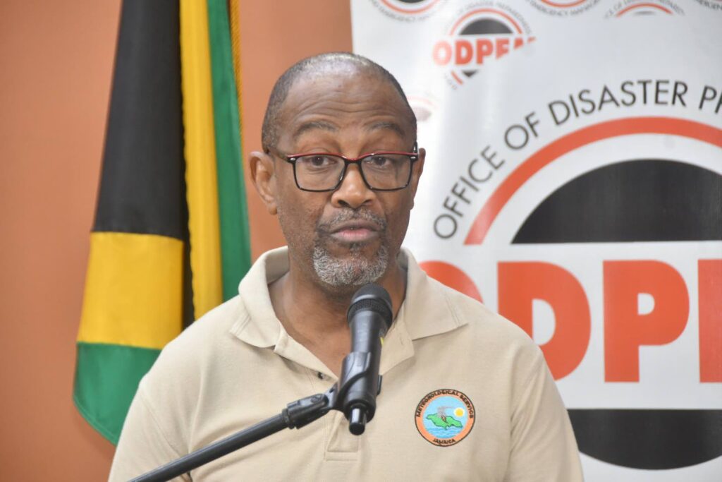
Jamaica is on high alert as Hurricane Melissa, a Category 4 storm, threatens to unleash catastrophic storm surges and torrential rainfall across the island. Evan Thompson, principal director of the Meteorological Service of Jamaica, issued a stark warning on Sunday, emphasizing that southern coastal communities could face waves as high as 13 feet. ‘Storm surge is expected mainly over the southern side of the island, particularly in Clarendon, St Catherine, Kingston, and western St Thomas,’ Thompson stated during a press conference at the Office of Disaster Preparedness and Emergency Management (ODPEM) in St Andrew. He highlighted Portland Cottage in Clarendon as the area most vulnerable to the highest storm surges. Thompson also projected intense rainfall, with 20 to 30 inches expected in eastern and south-central regions, likely triggering widespread flooding. Despite a slight westward shift in the hurricane’s path, Thompson stressed that Jamaica should prepare for a direct hit, with landfall anticipated between Monday night and Tuesday morning. Minister of Water, Environment, and Climate Change Matthew Samuda assured the public that emergency protocols are in place to restore potable water swiftly. The National Water Commission (NWC) has collaborated with the Jamaica Public Service Company (JPS) to prioritize electricity restoration for critical water pump stations, particularly those serving hospitals and emergency distribution points. Samuda, alongside other government officials, urged residents in low-lying areas and near river courses to relocate to safer zones immediately. As Jamaica braces for Melissa’s impact, the government has mobilized resources to mitigate the hurricane’s devastating effects.