The Barbados Meteorological Services (BMS) has activated a flash-flood watch across the island nation effective Tuesday, December 30th, responding to predictions of concentrated moderate to heavy precipitation throughout the day. Meteorological experts indicate these weather patterns pose a tangible risk of triggering isolated flooding incidents, with low-lying and traditionally vulnerable regions facing the highest threat levels.
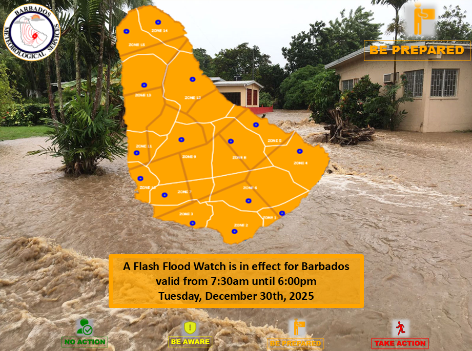
Current atmospheric models project a persistent cloud cover leading to overcast conditions, potentially delivering additional rainfall accumulations of one to two inches. This follows overnight precipitation that already deposited similar quantities in specific parishes, including St. Andrew and St. Peter. The official advisory, initiated at 7:30 a.m., is scheduled to remain active until 6:00 p.m. unless meteorological developments prompt an earlier cancellation.
Authorities have classified the flooding probability as medium-risk, outlining several potential consequences: accelerated soil erosion, accumulation of water on roadway networks and agricultural land, and elevated levels in ponds and reservoirs. These conditions may subsequently result in transportation disruptions, including traffic delays and potential isolated road diversions, particularly within urban corridors.
While conditions are anticipated to improve by nightfall, emergency management officials strongly urge residents to maintain heightened awareness. The Department of Emergency Management (DEM) advises citizens to continuously monitor updates disseminated through official channels including the BMS, DEM, and the Barbados Government Information Service. A subsequent escalation to a flash-flood warning remains possible with minimal notice should atmospheric conditions deteriorate.