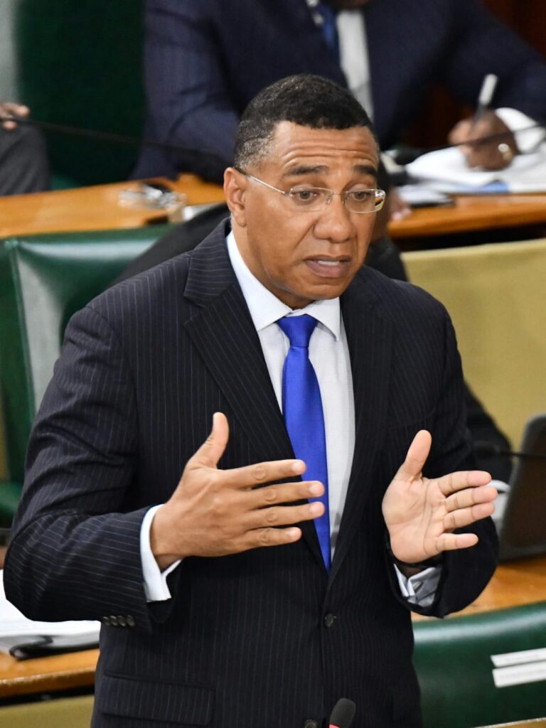
KINGSTON, Jamaica — Hurricane Melissa has inflicted severe damage on more than 116,000 buildings out of the 428,000 structures recorded in the National Spatial Data Management Branch’s database. The devastation is particularly concentrated in the parishes of Westmoreland, St Elizabeth, and Manchester, as confirmed by satellite imagery and drone assessments. Prime Minister Andrew Holness addressed the crisis during a ministerial statement in the House of Representatives on Tuesday. He emphasized the unprecedented use of geospatial intelligence to conduct a rapid, high-resolution national housing damage assessment, marking a historic milestone for Jamaica. ‘Melissa has caused extensive damage to the nation’s housing stock, especially in the western parishes,’ Holness stated. ‘These findings are now guiding targeted relief and reconstruction efforts across affected communities.’ The government is transitioning from emergency sheltering to stabilization and repair, with field verification underway in priority areas. Housing support teams are collaborating with the Jamaica Defence Force, the Office of Disaster Preparedness and Emergency Management, and local authorities to expedite aid. Holness added that as access to western communities is restored, beneficiary verification will be completed, and roofing support, building materials, tarpaulins, and rapid-repair crews will be deployed to ensure safety and habitability. The data is being integrated into the post-disaster needs assessment to shape a resilient housing and building recovery program, led by Minister Robert Montague, who oversees Titling and Settlements.
